Hokuriku area. (Group leader Junzo Uchiyama)
Neolithisation 3000 BC-500AD; Modernisation 14th-19th c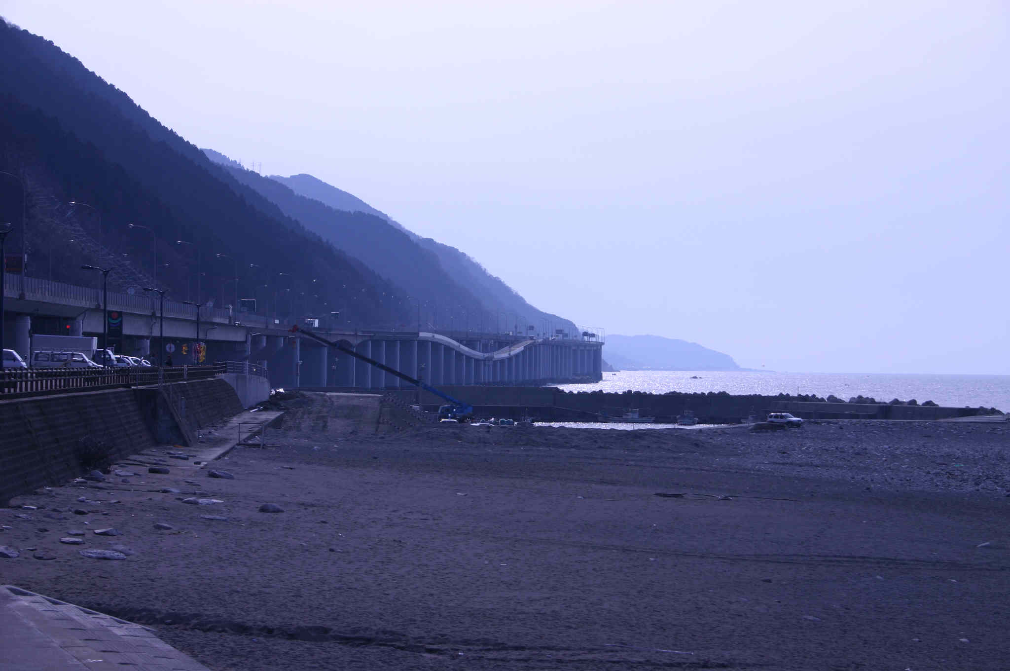
Area. Hokuriku region: Toyama Plain, Jadeite Coast and Shianogawa river basin.
Reasons for selection:
(1) H. region is characterised by narrow plains surrounded by sea and mountains of high altitude, and connected by small rivers.
 (2) Sharp differences in seasonal climate (heavy snowfalls in winter and hot
summers) and extremely varied land forms have produced unique land use
structures and perception of environment.
(2) Sharp differences in seasonal climate (heavy snowfalls in winter and hot
summers) and extremely varied land forms have produced unique land use
structures and perception of environment.
(4) H. area has been a central point in Japan Sea maritime network throughout history and
(5) is rich in valuable natural resources like jadeite and bears.
Important issues during the Neolithisation period:
(1) H. area represents the most developed Jomon culture on the Japanese Archipelago with its unique large scale shell mounds, large settlements, decorative potteries and wide distribution of wooden circles;
(2) Relatively late adoption of paddy field rice cultivation and continuation of swidden agriculture;
(3) The functioning of H. area as the central node in the trading network uniting inland and the Japan Sea coast;
 Important
issues during the Modernisation period:
Important
issues during the Modernisation period:
(1) Formation of the largest rice production area by extensive landfills of lagoons despite climatic conditions unsuited for paddy fields;
(2) The activity of travelling merchant groups (Toyama medicine peddlers) who played an important role in the formation of an all-Japan trading network and distribution of product economy;
(3) Construction of numerous ports which were central to the Hokkaido-Osaka-Kyushu-Okinawa trading route.
(4) Wide support for Pure Land Buddhism which led to large-scale peasant uprisings;
(5) No considerable urbanisation or concentration of settlements; Dispersed settlements have remained until today.