Human Impacts on Urban Subsurface Environments
Project Leader: TANIGUCHI Makoto RIHN

The great coastal cities of Asia place substantial burdens on subsurface environments, but little is known of the impact or its environmental or potential social significance. Subsurface conditions merit particular attention in Asian coastal cities where population numbers, urban density and use of subsurface environments have expanded rapidly. The goals of this project were to evaluate the subsurface environments of seven Asian coastal cities for such problems as subsidence, groundwater contamination and subsurface warming, and to suggest how they can be addressed or avoided. This project was therefore designed to reveal the groundwater recharge rate, storage, redox and other natural subsurface capacities in Tokyo, Osaka, Seoul, Taipei, Bangkok, Jakarta and Manila, and to measure the pace and scale of human disturbance of subsurface environments in these cities in the past century.
Summary of research findings
Cumulative human impacts on subsurface environments were documented at depths of up to 200-300 meters. Groundwater circulation was accelerated by more than 10 times in the past century. Subsurface thermal storage due to surface warming, such as by the urban ‘heat island effect’, is two to six times that attributable to global warming. Numerical modelling of the subsurface environment in Tokyo, Osaka, Bangkok, and Jakarta allowed evaluation of groundwater recharge rate and area, residence time, and exchange of fresh/salt water between land and ocean. GRACE satellite data was scaled down to the Chaopraya basin, Thailand, allowing comparison with basin models. Creation of a 0.5km grid GIS database based on nine categories of land cover/use in three different historical periods (1930s, 1970s, and 2000s) allowed evaluation of water, materials, and heat exchange between surface and subsurface environments in each city.
Research significance
Natural resource capacity and social and environmental development indices allowed integration of findings. In total, the indices in our five-stage urban development and DPSIR (Driving force, Pressure, State, Impact, and Response) models described patterns of land subsidence, groundwater contamination, and subsurface warming, and allowed us to suggest a range of suitable policy approaches, taking account of latecomer's benefits, patterns of development, and natural resource capacities.
In total, project findings highlight the importance of careful public cross-boundary surface-subsurface environmental management. We conclude that subsurface environmental processes can be successfully managed, especially in their critical capacity in providing water, if policies correspond to actual material flows across surface-subsurface and land-marine boundaries. In regard to water quality, human societies should pay closer attention to the subsurface accumulation of contaminants and heat, especially as these loads can often be controlled or managed from the surface. Designing such policies, however, depends on accurate assessment of the stage of urban growth in relation to natural capacities and social capabilities.
Research communication
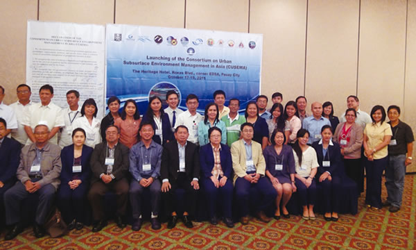
Project research findings have been disseminated widely in a variety of fora. The project has convened five international symposia, a side event of COP13 and collaboration with UNESCO-International Hydrological Programme. Project researchers have published more than 120 peer-reviewed scientific papers, five books (three in Japanese and two in English), a special issue of the journal STOTEN, and a CD-Book with multilayer contents for beginners to experts. Feedback seminars were organized to discuss project findings with local administrators and policy makers in Manila, Jakarta, and Bangkok. The utility of such seminars, and perceived value of comparative discussion of subsurface urban issues, now inspires the creation of a consortium concerned with urban water management in Asia.
 |
Establishment of consortium on water management in Asian megacities |